

Aastha Constructions
Geospatial Services
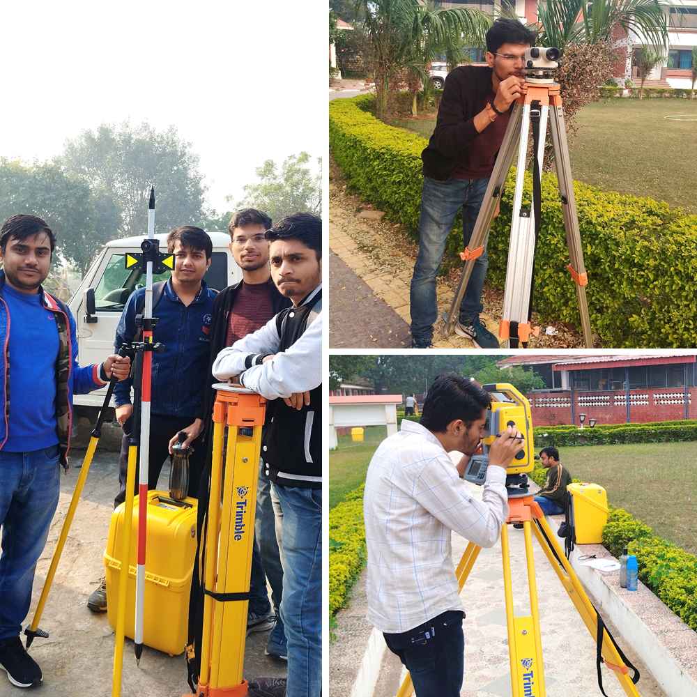
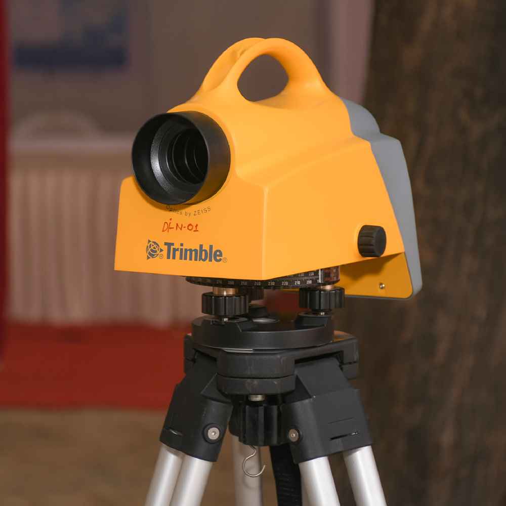
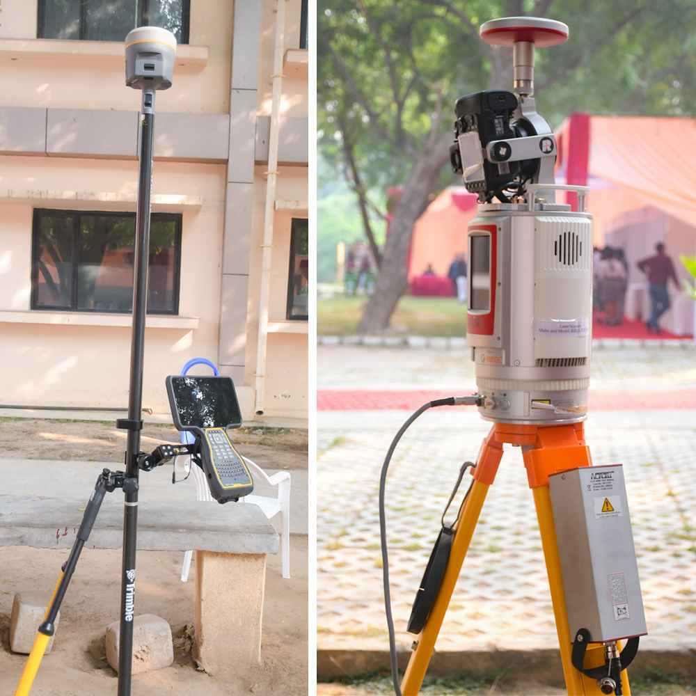
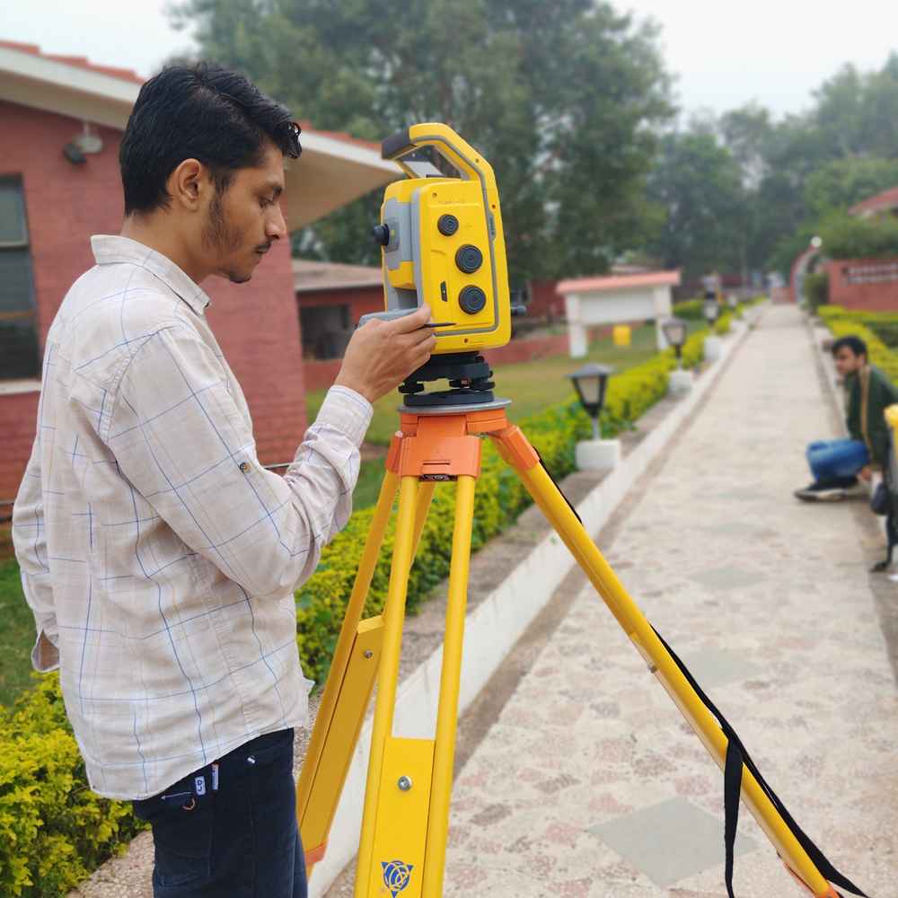
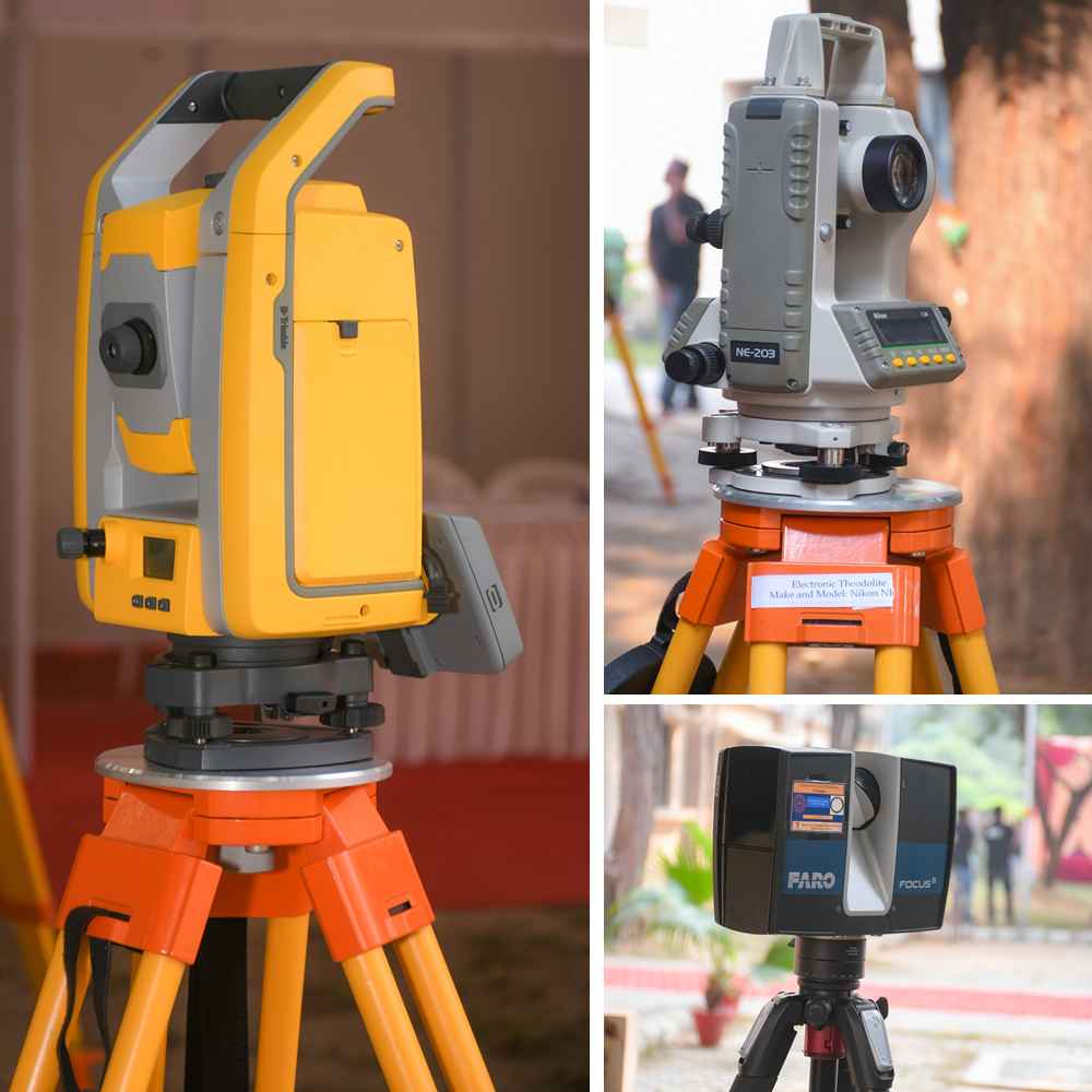
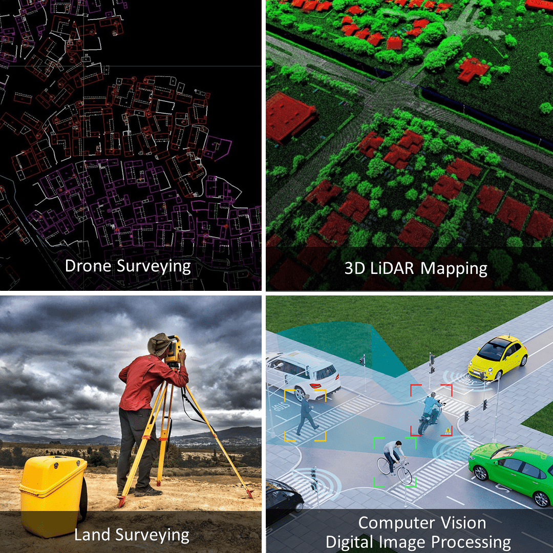
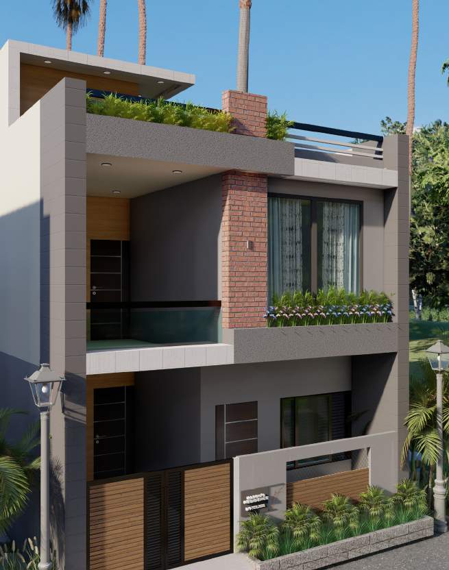
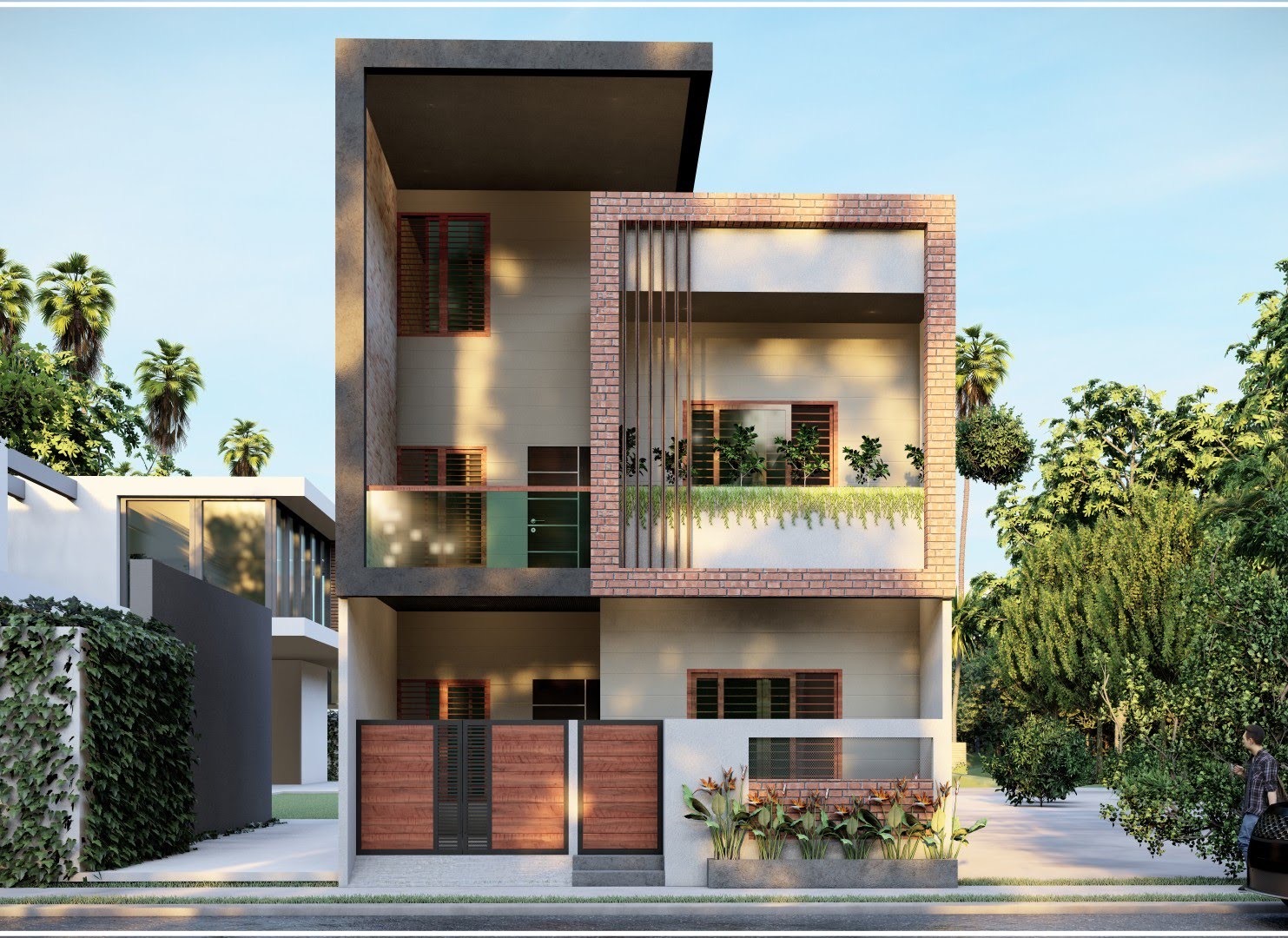
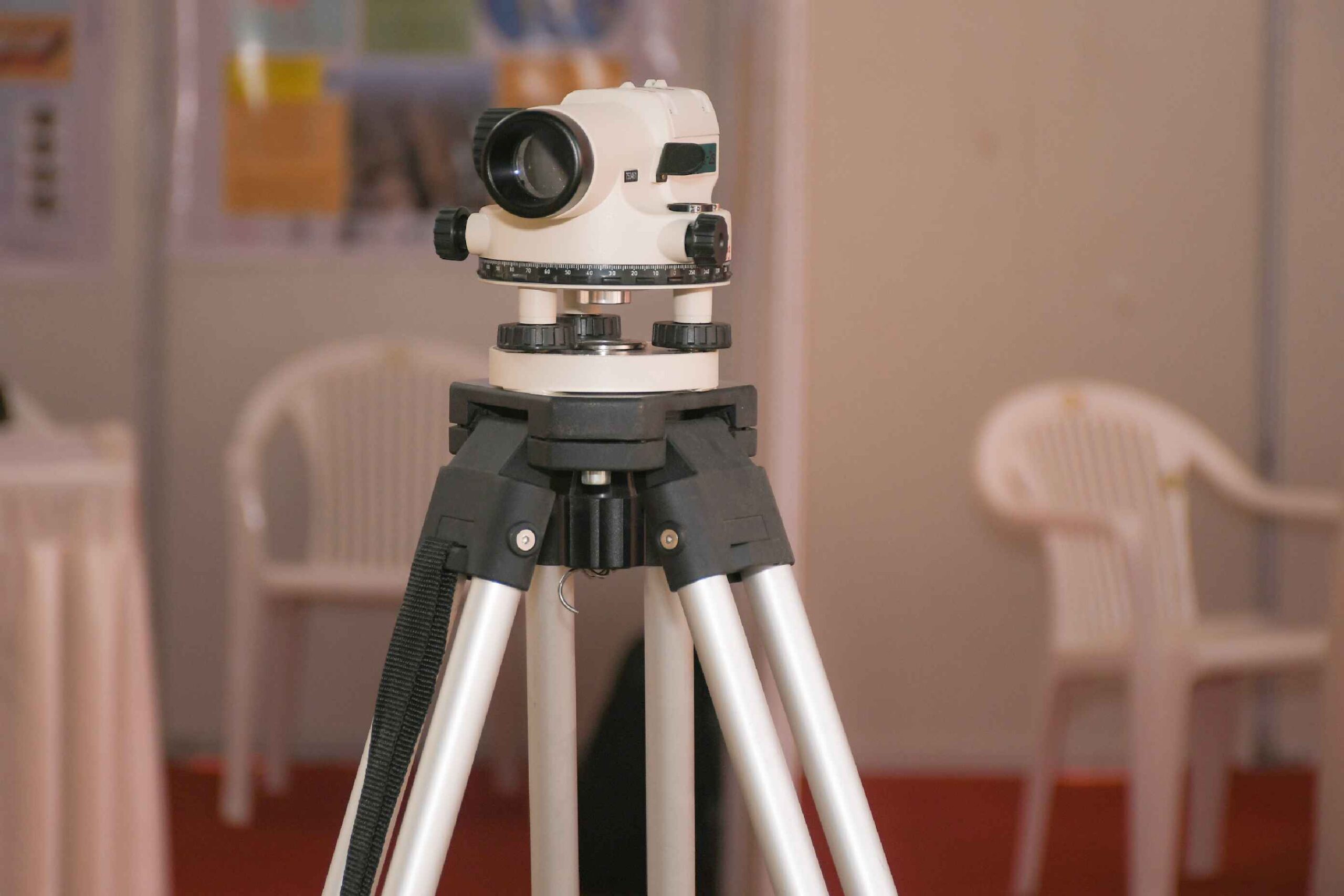
We offer cutting-edge construction solutions powered by advanced geospatial technologies. Specializing in 2D/3D LiDAR scanning, digital twin creation, and GNSS mapping, we ensure precise project visualization. Our expertise includes satellite imagery interpretation, topographical surveys, photogrammetry, DTM/DEM generation, hydrographic and bathymetric surveys. We develop high-precision geospatial databases and custom Web GIS applications, delivering innovative mapping and surveying solutions for infrastructure and construction projects.